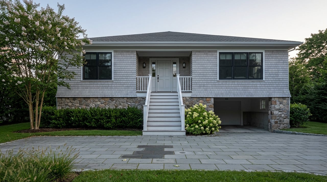
How the REAL Rule Changes Rumson Waterfront Costs
August 27, 2026
August 27, 2026
For years, the conversation about buying waterfront in Rumson followed a predictable script. Which river. How much bulkhead. Whether the dock could hold a real boat. Those questions still matter. But a run of regulatory action out of Trenton over the past seven months has quietly opened a second, more consequential divide in this market, and it has nothing to do with which side of the peninsula a house sits on. It has to do with when the house was built, and what happens the next time someone applies for a permit to touch it.
Anyone selling or buying a river-facing home in Rumson right now needs to understand this, because it changes what a listing price is actually pricing in.
On January 20, 2026, the New Jersey Department of Environmental Protection adopted the Resilient Environments and Landscapes rules, known as REAL. These are the most significant rewrite of the state's coastal flood construction standards in a generation, touching the Coastal Zone Management rules, the Flood Hazard Area Control Act rules, the Freshwater Wetlands Protection Act rules, and Stormwater Management rules all at once. The headline change for anyone with a waterfront address: new construction and "substantial improvements," meaning renovations whose cost exceeds half the home's market value, must now be built four feet above FEMA's base flood elevation in tidal flood areas, up from the one to two feet that had been standard.
The rule included a legacy window. Any application deemed administratively and technically complete by NJDEP within 180 days of adoption, meaning by July 20, 2026, would still be reviewed under the old, less demanding standard.
Then, on June 1, 2026, Governor Mikie Sherrill and NJDEP Commissioner Ed Potosnak announced that window was being extended by a full year, to July 20, 2027. The core requirements of REAL were not softened. The elevation standard, the new Inundation Risk Zone designation, and the Climate Adjusted Flood Elevation mapping all remain adopted law. What changed is the clock: homeowners now have an extra twelve months to get a technically complete application in front of the state before the stricter standard applies to their project.
That extension did not happen in a vacuum. Monmouth County, along with Cape May, Cumberland, and Ocean counties, has filed suit arguing the DEP exceeded its authority in adopting REAL. Senate President Nicholas Scutari introduced a legislative resolution that would have forced the DEP to amend the rules or see them invalidated. The delay is best read as the state buying itself room to fight those battles while giving property owners more runway.
For a Rumson seller sitting on an older waterfront house, that runway is the whole story. It is the difference between a renovation that has to clear the new four-foot standard and one that can still be permitted under the standard that has governed Rumson construction since Sandy.
REAL does not touch a house that isn't being substantially improved or rebuilt. If you own a waterfront home in Rumson today and have no renovation plans, nothing about your structure changes. The rule reaches forward, not backward: it governs what gets built or rebuilt from here on, not what already exists.
It also does not apply uniformly along Rumson's shoreline. The Navesink and Shrewsbury Rivers carry both tidal and riverine flood characteristics, and REAL treats those differently. In tidal flood hazard areas, the four-foot-above-BFE standard applies. In non-coastal riverine A zones, the requirement is one foot above the design flood elevation instead. Two houses on the same stretch of river can fall under different elevation math depending on how their specific parcel is mapped, which is exactly the kind of distinction that never shows up in a listing description and matters enormously to a renovation budget.
Rumson also isn't starting from zero. The borough adopted its own base height elevation ordinance after Sandy, setting a 13-foot minimum in flood zones, with the requirement rising further if FEMA's own advisory elevations called for more. Rumson also participates in FEMA's Community Rating System, the voluntary program that credits communities for floodplain management work with a premium discount for policyholders. REAL layers a new, higher bar on top of a local flood code that was already stricter than the statewide default. The rulebook a Rumson waterfront owner is building against has three layers now, not one: the borough's ordinance, the federal flood maps, and the state's new elevation mandate.
The mechanism that ties all of this together is FEMA's Risk Rating 2.0 pricing model, which has fundamentally changed what actually drives a flood insurance bill. Under the old system, your flood zone designation was the dominant variable. Under Risk Rating 2.0, your elevation relative to base flood elevation is.
| Elevation relative to BFE | Approximate annual premium | Same flood zone? |
|---|---|---|
| 3 feet above BFE | ~$1,200/year | Yes, Zone AE |
| At BFE | ~$3,500/year | Yes, Zone AE |
That gap, nearly $2,300 a year between two houses in the identical designated flood zone, exists purely because of how each structure sits relative to the flood elevation. This is why an elevation certificate, the FEMA-standardized document a licensed surveyor prepares to record a home's lowest floor elevation against BFE, has become the single most useful piece of paper in a waterfront transaction. It typically costs between $200 and $500 to obtain. If it documents that a house sits even a foot higher than FEMA's modeled estimate, the resulting premium swing can run from $500 to more than $2,000 a year.
For context on the county-wide picture: Monmouth County currently carries 9,406 active NFIP policies and has received $28.4 million in cumulative NFIP claims payments, the second-highest total of any New Jersey county. The average NFIP premium in the county runs around $962 a year, though the full risk-based cost, the number Risk Rating 2.0 is gradually moving policies toward, sits closer to $1,900. Typical coastal Zone AE premiums in this part of the Shore range from roughly $1,800 to $4,000 a year, which is a wide enough band that elevation, not zone, explains most of the spread.
For a seller with an older, pre-Sandy waterfront structure, three things matter right now:
For a buyer looking at Navesink or Shrewsbury River waterfront, the questions worth asking go beyond the flood zone printed on the listing sheet. Ask whether the seller has an elevation certificate on file. Ask whether the structure is pre-Sandy or was rebuilt or substantially elevated after 2012. Ask which flood designation, tidal or riverine, actually governs that specific parcel. Those answers tell you more about your future insurance bill and your future renovation budget than the square footage ever will.
Does this mean every waterfront home in Rumson now has to be elevated? No. REAL applies only to new construction and substantial improvements, meaning renovation costs exceeding half the home's market value, in tidal flood hazard areas. A home that isn't being rebuilt or heavily renovated is unaffected by the elevation standard itself.
If I buy now, does the 2027 deadline affect me? Only if you or a future owner plans new construction or a substantial renovation. The deadline determines which elevation standard that future permit application gets measured against. It has no bearing on a home as it stands today.
Is a Rumson seller required to tell me about flood risk? Yes. Since March 20, 2024, New Jersey law requires every seller to disclose FEMA flood zone status and any actual knowledge of the property's flood history before a buyer is contractually obligated. You can also review flood zone status directly through FEMA's Flood Map Service Center before making an offer.
The waterfront premium in Rumson has always been real. What's changed is that the cost sitting underneath that premium now depends on a regulatory timeline as much as it depends on the tide. Understanding where a specific property falls on that timeline, before you price it, list it, or write an offer on it, is the difference between a clean transaction and a renovation surprise two years down the road.
If you're weighing a waterfront sale or purchase in Rumson and want a straight read on what a specific property's flood history and elevation actually mean for your numbers, Katherine Raftery can walk through it with you. Let's Connect.

Kate specializes in buyer and seller representation, luxury homes, relocations, first-time buyers, and downsizers, working across a wide range of price points.